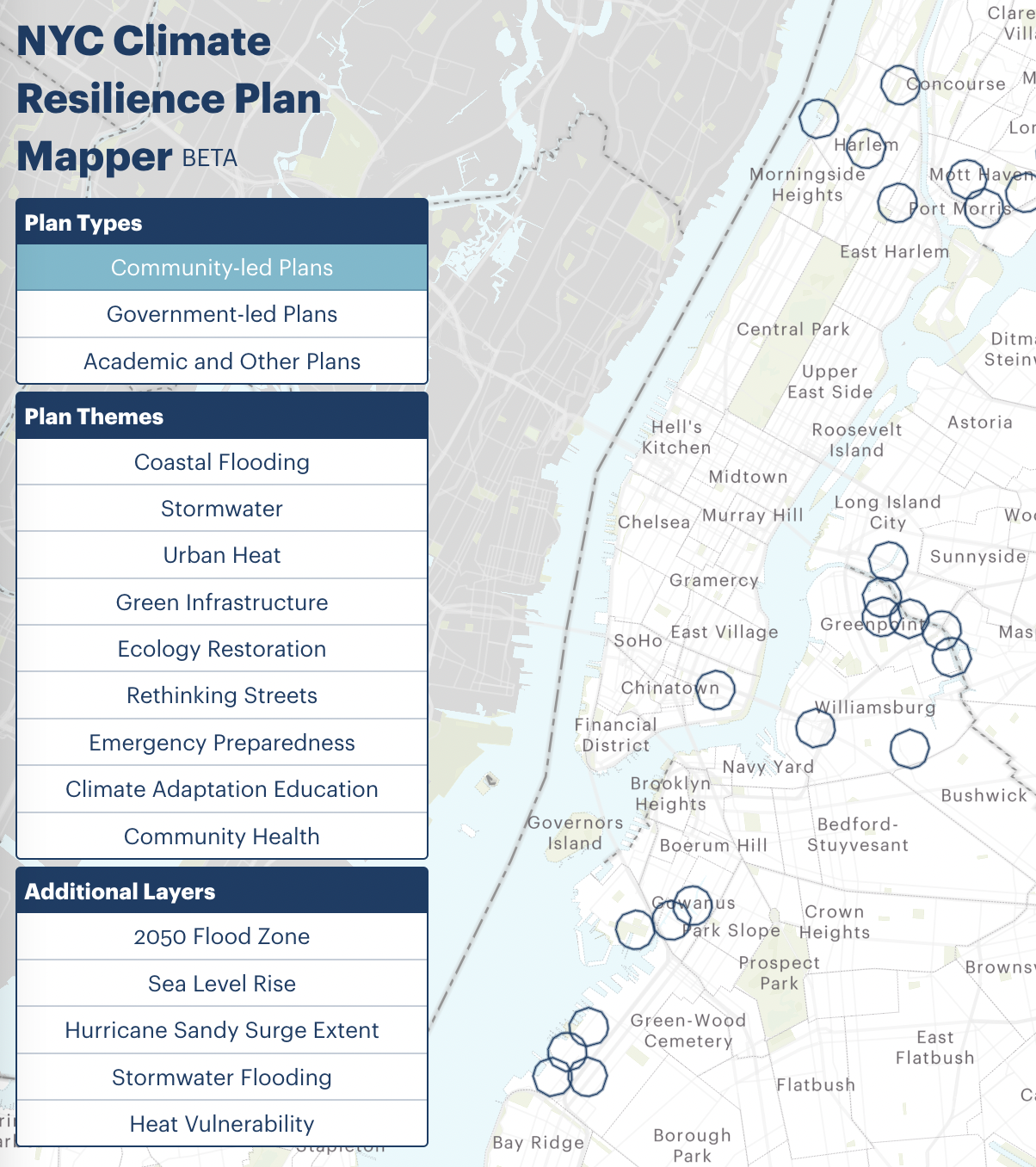
October 29, 2022 is the 10-year anniversary of Hurricane Sandy. This map was developed to highlight the amazing community-led climate resilience work undertaken by organizations across New York City. Mapping these plans, along with government-led place-based plans and those from academic institutions, lets us visualize the community-level response to risks like storm surge, extreme rainfall, and urban heat island effect. This map can also serve as a tool for community groups to see how other communities are rising to the challenges brought on by climate change.
If you’d like to provide any feedback or add a resilience plan we’re missing, please use this form.
This map is a project of the Regional Plan Association, Rebuild by Design, and Environmental Defense Fund.Special thanks to all of the organizations that shared their plans with us and to Columbia University’s Center for Resilient Cities and Landscapes for sharing additional research. Visit the NYC Climate Dashboard for more information on the city’s funded projects.

 Follow Us on Twitter
 Subscribe to Rebuild on
