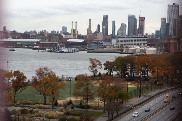
The City: A transformational plan to fortify the Lower East Side waterfront against rising seas is poised to sail through a key vote this week.
On Thursday, the City Council is expected to OK the $1.45 billion East Side Coastal Resiliency project, or ESCR. The controversial plan already has gotten stamps of approval from a Council committee and subcommittee and has the backing of the three members whose districts touch the 2.4-mile affected zone.
Many locals have been weighing in on concepts for years, making Thursday’s vote a culmination of hard — and, often, frustrating — work. But the Council action will launch a huge, first-of-its-kind project for New York to prepare for rising sea levels and strong storms that climate change will bring.
Here’s a guide to what you should know about ESCR.
The work that ultimately created East Side Coastal Resiliency began in earnest after Superstorm Sandy devastated the Lower East Side in fall 2012. The next year, the Obama administration’s Department of Housing and Urban Development (HUD) launched the Rebuild by Design competition to drum up ideas for defensive measures where Sandy landed.
One of the proposals submitted to HUD was the “BIG U,” a coastal protection plan enveloping the southern tip of Manhattan. HUD awarded $335 million to New York City to move forward with one of three BIG U segments.
That section — stretching from East 25th Street south past Stuyvesant Town-Peter Cooper Village, the Con Edison plant on Avenue C, all of East River Park, the Manhattan Bridge and waterfront public housing complexes down to Montgomery Street — became the outline for what is now ESCR. Read more>>
 Follow Us on Twitter
 Subscribe to Rebuild on
